Explore our remote sensing services
Data acquisition - processing & analysis
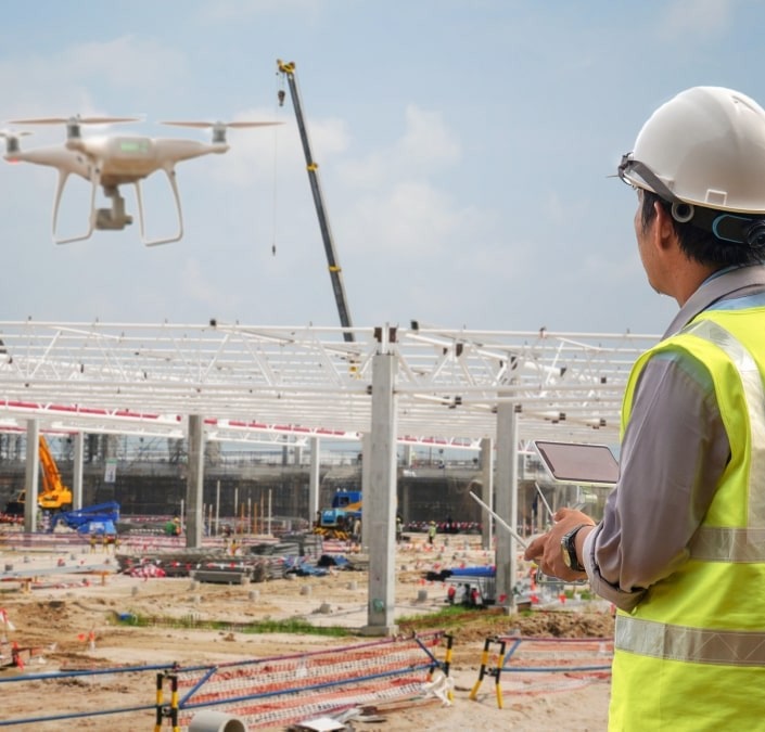
- Encompasses Data Acquisition and Analysis, including the collection of satellite, aerial, drone, and ground-based sensor data.
- Incorporates the Processing and analysis of imagery and sensor data for specific applications.
Environmental & Urban Monitoring
- Encompasses Environmental Monitoring such as monitoring environmental changes (deforestation, urban sprawl, water quality) and assessing natural disasters (floods, fires, hurricanes).
- Includes Urban Planning and Infrastructure, focusing on the mapping and analysis of urban areas and infrastructure monitoring.
Geospatial Integration & Management
- Combines Geospatial Data Integration, which involves the integration of remote sensing data with GIS (Geographic Information Systems).
- Includes the Creation and management of spatial databases.
agricultural & climate application
- Combines Agricultural Applications, including analysis of crop health, yield prediction using NDVI, and soil moisture monitoring.
- Includes Climate Studies, focusing on the analysis of climate patterns, changes over time, and support in climate research and modeling.
